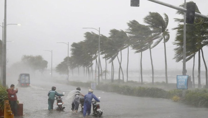
The India Meteorological Department (IMD) early on Thursday said that Cyclone Biparjoy.
Will further intensify into a severe cyclonic storm in the next 48 hours and move towards northwest India during the next three days.
“VSCS BIPARJOY over east central Arabian Sea, lay centered at 2330hrs IST of 07 Jun, 2023 near lat 13.6N & long 66.0E, about 870km west-southwest of Goa, 930km SW of Mumbai. It would intensify further gradually during next 48 hrs and move nearly north-northwestwards during next 3 days,” the weather department tweeted.
The system is expected to remain a very severe cyclonic storm for the next three to four days. Since the storm has a long sea travel, it may intensify further as well due to favourable conditions, according to Skymet Weather.
At the time of filing this report, cyclone Biparjoy was centred around 860 km west-southwest of Goa and 910 km southwest of Mumbai. The cyclone would intensify further and move north-northwestwards.
“VSCS BIPARJOY over eastcentral Arabian Sea, lay centered at 0530hrs IST of 08thJune, near lat 13.9N & long 66.0E, about 860 km west-southwest of Goa, 910km southwest of Mumbai, would intensify further & move north-northwestwards,” IMD tweeted on Thursday.
Guj govt fully prepared to deal with possible natural calamities
The Gujarat government on Wednesday said that it is fully prepared to tackle with possible natural calamities. Fishermen in Gujarat have been warned not to venture into the Arabian sea till June 14.
The cyclone is likely to cause light rains in Saurashtra and south Gujarat regions between June 9 and 11, an IMD official told news agency PTI.
Coastal areas of Lakshadweep, Karnataka, Goa, Maharashtra likely to face impact
The impact of Cyclone Biparjoy is anticipated to be felt in several southwestern states. The IMD has issued a wind warning for the next five days in these regions.
On June 7, gale winds with speeds of 80-90 kmph, gusting up to 100 kmph, are likely to prevail over the east-central Arabian Sea and adjoining areas of the west-central and southeast Arabian Sea.
By evening, these winds may intensify to 95-105 kmph, gusting up to 115 kmph in the same area. Adjoining areas of the west-central and south Arabian Sea, and the coasts of north Kerala, Karnataka, and Goa are therefore likely to be most impacted by the storm.
IMD predicts monsoon onset over Kerala
Meteorologists predicted a “mild” monsoon onset over Kerala and “weak” progress beyond the southern peninsula under its influence.
The IMD on Wednesday morning said conditions are favourable for monsoon onset over Kerala within two days.
Meteorologists, however, said the cyclone has been impacting the intensity of the monsoon and the onset over Kerala would be “mild”.

